|
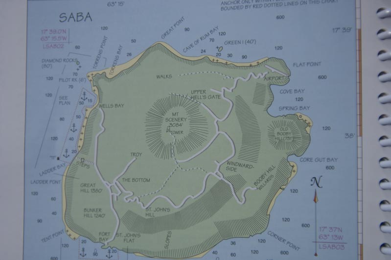
Chart of Saba |
|
|
|
|
|
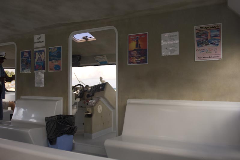
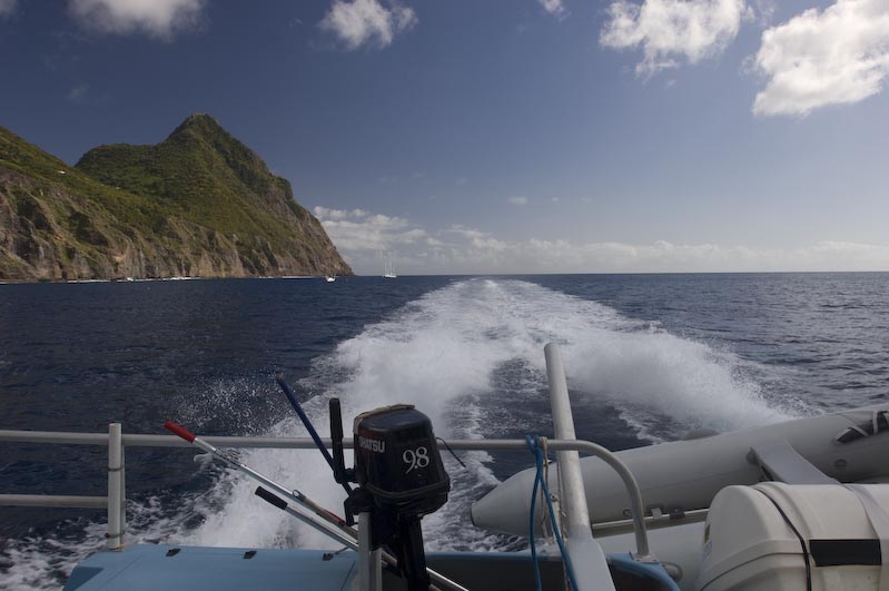
Highspeed Ferry to Saba |
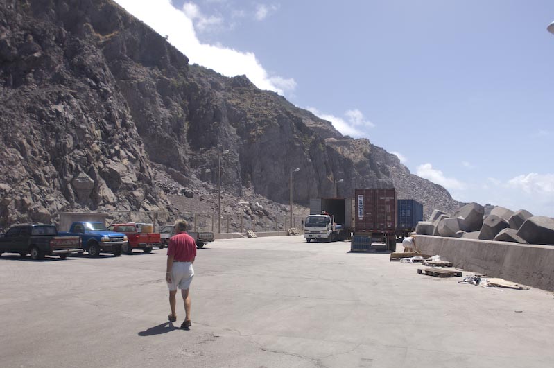
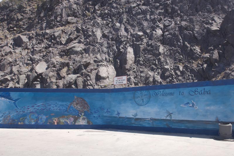
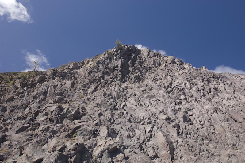
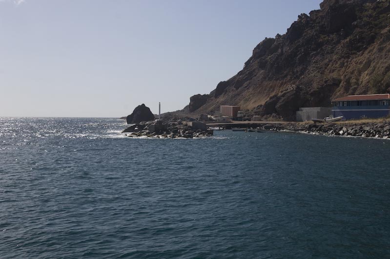
Rocks everywhere |
Welcome to Saba Sign |
|
|
|
|
|
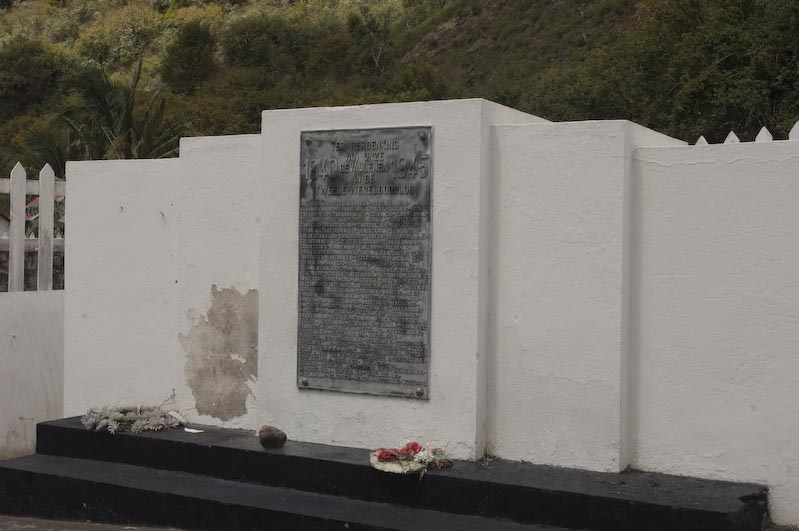
War Memorial (all wars) |
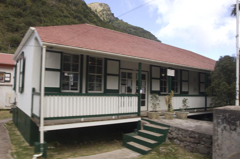
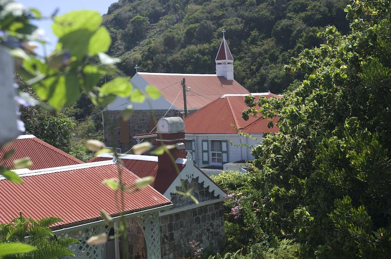
Local Architecture |
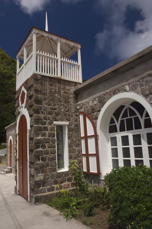
Protestant Church, one of the oldes ont he Island |
|
|
|
|
|
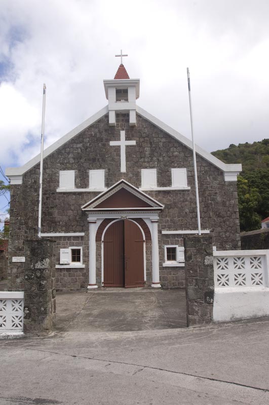
Catholic Church |
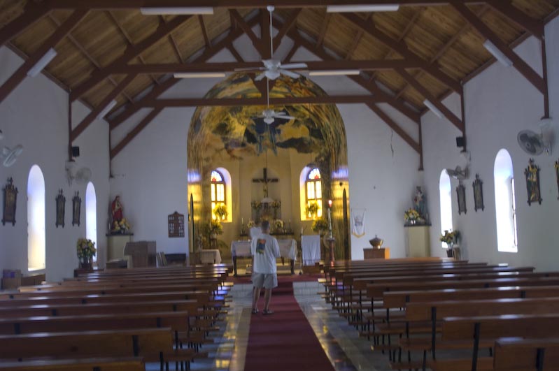
... inside |
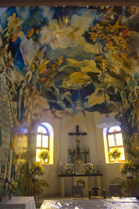
...painted by a local Artist |
|
|
|
|
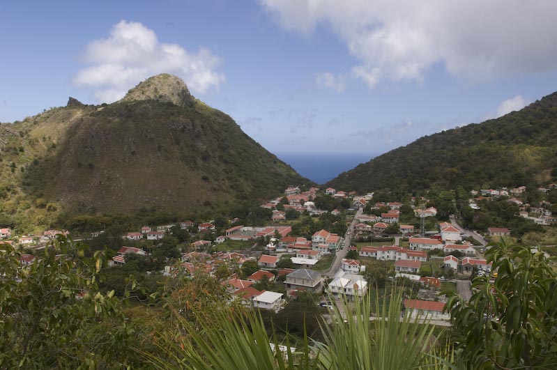
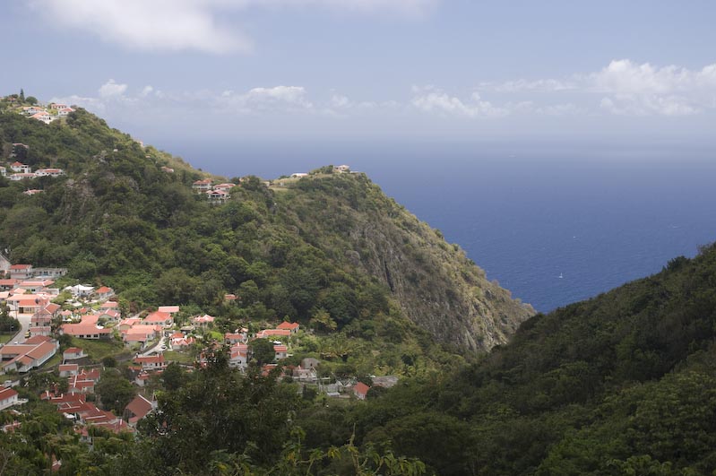
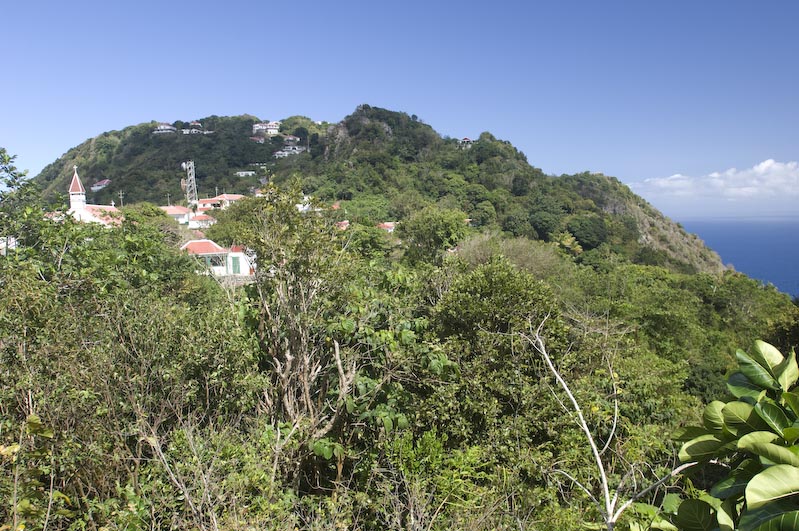
Island Views |
"Bottom" |
More Views |
|
|
|
View to the Southwest |
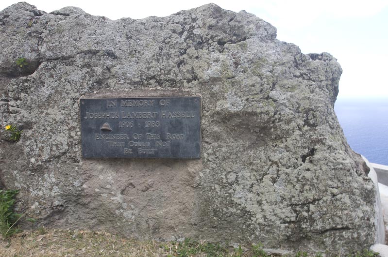
Plaque for Joseph Hassel, the man who took a correspondence course in road building and proved the Dutch Engineers wrong in that the Road could and was built |
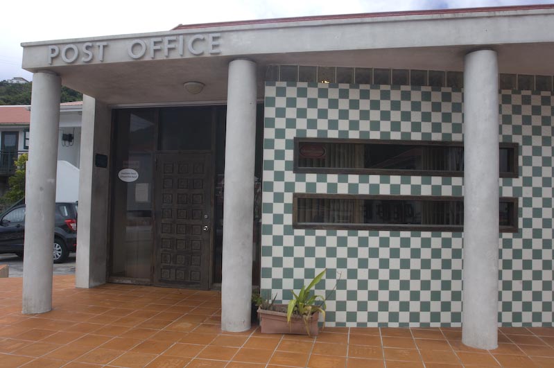
Local Post Office that did not have Stamps and sent us to their customer to get some... |
|
|
|
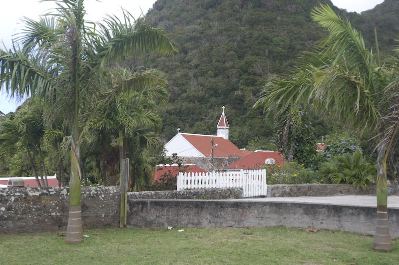
Another Church |
Another beautiful little House |
"July Tree" because it blooms in July |
|
|
|
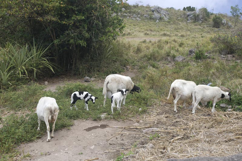
Local Sheep without Wool |
Statia visible in the Distance |
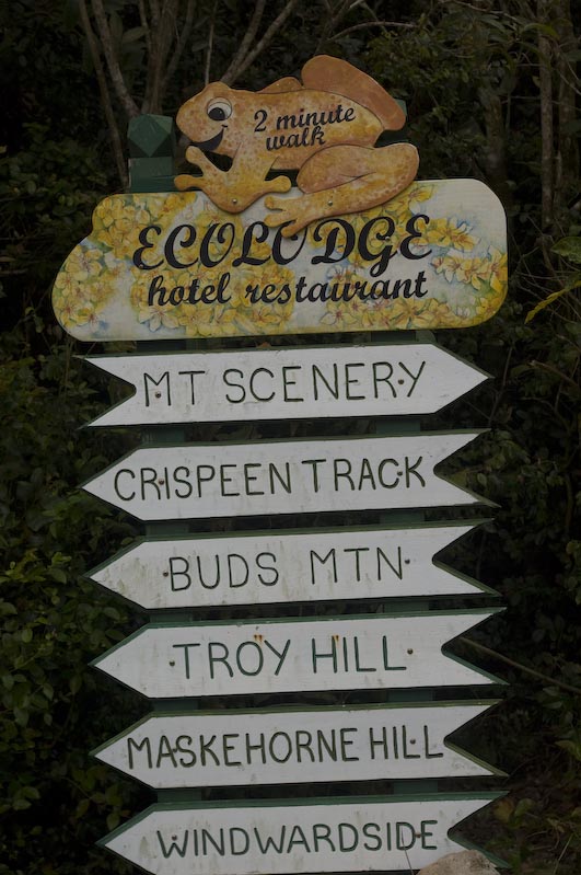
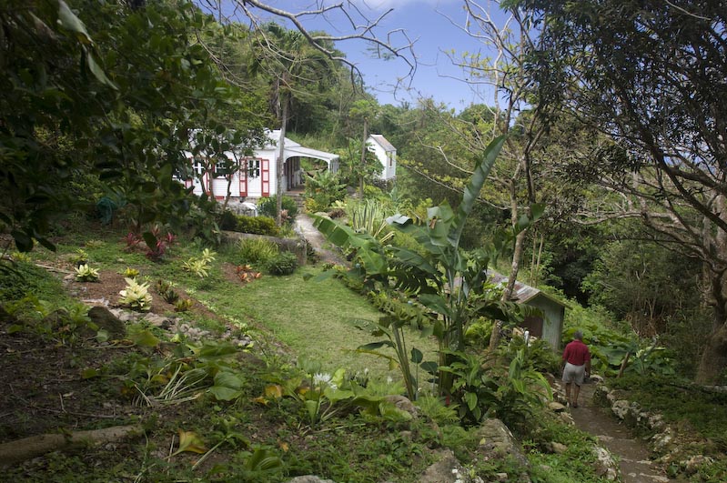
Sign to the Ecolodge |
|
|
|
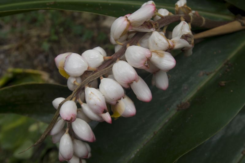
Bloom |
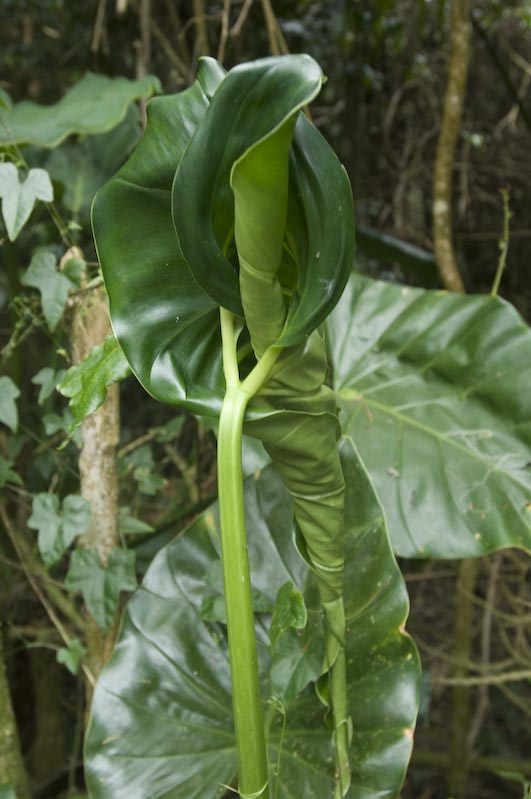
Leaf Unfolding |
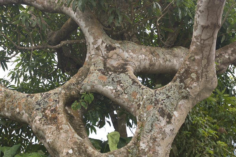
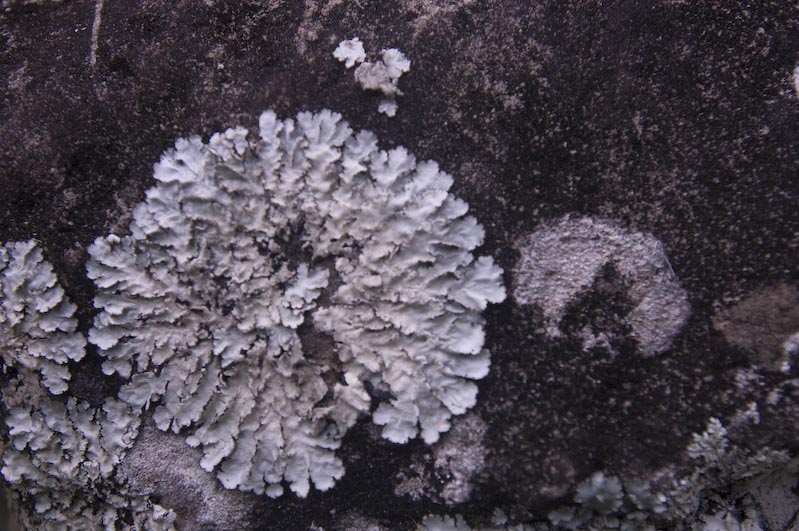
"Rock Design" |
|
|
|
|
Sugar Mill |
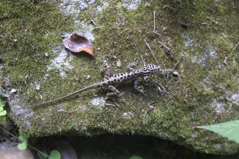
"Gecko" (or what???) |
Statia again |
|
|
|
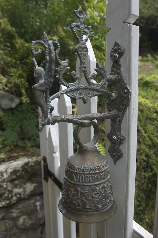
Beautiful House with beautiful Door Bell |
Windward |
|
|
|
|
More Rocks |
Back "down" again |
|
|
|
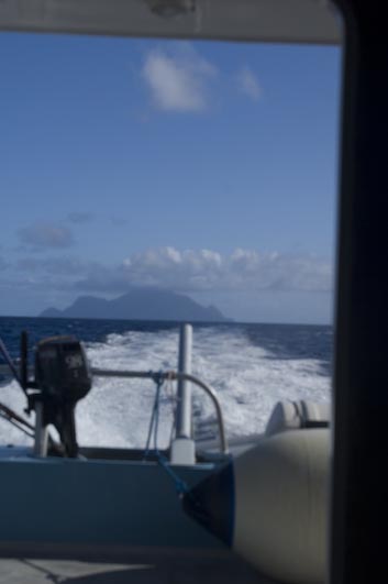
Leaving Saba |
Saba Cliffs |
One last Look at Saba |